As of 2023, about 30% of Delta rural islands achieved the levee safety standards, which contributes to reduced flood risk.
The Measure
Delta levees reduce the flood-related risk to people, property, and state interests in the Delta.
-
Expectations
Levees in the Delta will be maintained over time to reduce the risk to people, property, and state interests in the Delta. Delta islands that have portions of levees not meeting specific criteria standards will improve these sections to better protect the overall island’s ability to withstand floods.
-
Performance Metrics
- Percentage of urban communities in the Delta protected by levees meeting DWR’s urban level of flood protection criteria.
- Percentage of rural Delta islands and tracts protected by levees at or above the Bulletin 192-82/PL 84-99 standard.
Urban Levees in the Delta
Although most Delta levees are rural, there are six islands in the Delta that are designated to protect urban areas. Because of the density of people and property behind those levees, special standards have been developed for them. Rural and urban islands are only counted toward the target if they are completely protected by levees that are up to the designated standard because it only takes one weak point in a levee system to flood an island. As the bar graph in the proceeding section shows, as of 2022, no urban Delta island was completely protected by levees that met the urban standard.
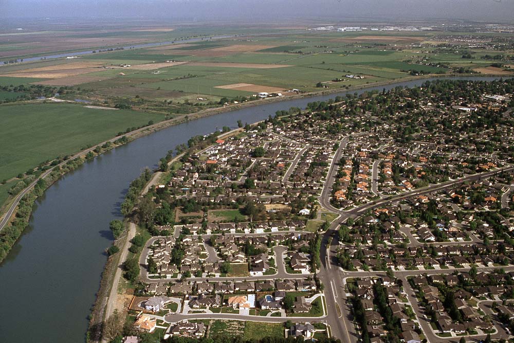
Six Delta levees protect urban areas such as Stockton and West Sacramento.
Urban Levee Design Criteria
The Flood System Status Report Update (2022 FSSR) produced in 2022 by the California Department of Water Resources Levee Evaluations Program evaluates approximately 2,000 miles of levees in the Central Valley (approximately 1,580 miles of SPFC, or State Plan of Flood Control levees, and 420 miles of non-SPFC levees) including the urban levees in the Delta. Urban Levee Design Criteria (ULDC) were developed in 2012 as a part of FloodSAFE California, a comprehensive statewide flood planning initiative. Six urban levees identified in the Delta Levee Investment Strategy are evaluated against the ULDC standards in the 2022 FSSR report.
Next Data Update: All Delta levee districts are required to provide final five-year plans to DWR meaning the next round of plans will be due by the end of 2028. The Central Valley Flood Protection Plan update reports are released every 5 years, meaning that the next data update is expected by the end of 2027.
The Delta is an inherently flood-prone area. Historically before the Delta was modified with levees and other human structures, the Delta’s low-lying islands and floodplains overflowed with rivers' natural flows for long periods each spring. Today, levees within the legal Delta protect approximately 740,000 acres of land. Many Delta levees protect land below sea level, they hold back water all day, year-round, rather than only during floods, and are called "the hardest working levees in America” (Delta Plan 2013).
Reducing flood risks to people, property, and state interests is critically important in the Delta and levees play a major role in flood-related risk reduction. Levees in the Delta will be improved over time to reduce the flood-related risk to people, property, and state interests in the Delta. This measure tracks the quality of Delta levees against predominant levee standards. State and federal guidelines and criteria establish minimum criteria for levee design and maintenance. The Public Law 84-99 (PL 84-99) standard is a minimum requirement established by U.S. Army Corps of Engineers (USACE). Bulletin 192-82 recommendations produce a levee that is like one built per the PL 84-99 guidelines, except that the design water level has a 0.33-percent (1 in 300) annual chance of occurrence as opposed to the 1.0 percent chance (1 in 100) PL-84-99 standard allows (California Department of Water Resources, 2023). USACE developed a Delta-specific standard based on the Delta particular organic soils and levee foundation conditions. For much of the Delta, there is little difference (e.g. a few inches) between the 1.0-percent (1 in 100) and the 0.33-percent annual chance of occurrence (California Department of Water Resources, 2023).
Each chapter of the Delta plan includes strategies to achieve the goals of the plan. These strategies are general guidance on achieving the objective laid out in the plan and in the Delta Reform Act of 2009. Associated with these strategies are recommendations. Strategies may also have associated performance measures. Delta Plan performance measures track progress in achieving desired outcomes for the Delta Plan. Below is the strategies associated with this performance measure.
Delta Plan Strategy
-
Prioritize Investment in Delta Flood Management
Metric
- Percentage of urban communities in the Delta protected by levees meeting Department of Water Resources (DWR) urban level of flood protection criteria. This will be evaluated at least every five years.
- Percentage of rural Delta islands and tracts protected by levees at or above the Bulletin 192-82/PL 84-99 standard. This will be evaluated at least every five years.
Baseline
- Percent of urban area in the Delta protected by levees, meeting DWR’s urban level of flood protection criteria, as of completion of the Delta Levees Investment Strategy.
- Percentage of rural Delta islands and tracts protected by levees at or above the Bulletin 192-82/PL 84-99 standard, as of completion of the Delta Levees Investment Strategy.
Target
- 100 percent of urban communities in the Delta are protected by levees meeting DWR’s urban level of protection criteria, demonstrated by 2025.
- 100 percent of rural Delta islands and tracts are protected by levees at or above the Bulletin 192-82/PL 84-99 standard, demonstrated by 2050.
Data Source
All Rural and urban levee data from 2012 is sourced from the Delta Levee Investment Strategy (DLIS). The Delta Levee Investment Strategy program also produced a risk- based prioritization for 2024.
The 2023 data for Rural Levee compliance is sourced from Delta Reclamation Districts five-year plans that are provided through the Department of Water Resources as regulated by the Delta Plan. The Cal. Code Regs Tit. 23 § 5012/ RR P1 policy requires: DWR to submit a written annual report to the DSC on State funds distributed or provided by DWR within the legal Delta make the report publicly available present the report to the DSC due no later than March 1 of each calendar year AND at least 45 days prior to the oral presentation before the DSC. This report will be tracking both PL 84-99 and Bulletin 192-82 data and reporting them interchangeably due to the small difference between the two standards and the limited data types available from DWR reporting across 2012 and 2023. The percentage of miles of Delta levee district in compliance with Bulletin 192-82 / PL 84-99 standards from the 2023 five- year plans were used for the most recent data update. PL 84-99 compliance data from the 2012 DLIS data were used for Delta islands that were not included in the five-year plans provided by DWR (see list below). For overall total (i.e. 100%) compliance rates, only rural islands with 100% compliance were considered in both the 2023 and 2012 datasets.
Data for the DSC’s Delta Urban Levee Design Criteria (ULDC) analysis was extracted from the 2022 Flood System Status Report Update (2022 FSSR). Levee segments located within the six Delta urban levee systems were evaluated for criteria compliance using the determination in the Overall Rating column. The performance criteria for categories used in these assessments are based on the USACE Engineer Manual (EM) 1110-2-1913, Design and Construction of Levees (U.S. Army Corps of Engineers 2000) and DWR’s ULDC and were therefore, deemed to be an accessible source of ULDC compliance data. These segments were weighed by total miles and then summed to obtain the total miles that were compliant with ULDC and overall percentage of island levees compliant with ULDC on a per island basis. The results were then compared to baseline DSC ULDC levels of compliance.
It should be noted that not all islands represented in the 2012 dataset were featured in the 2023 dataset. The islands that were not represented in the most recent dataset include: Canal Ranch, Drexler Pocket, Drexler Tract, Ehrheardt Club, Glide District, Holt Station, Libby McNeil, Liberty Island, Mossdale Landing, Paradise Junction, Pescadero District, Peters Pocket, Pico-Naglee Tract, Randall Island, Rio Vista, River Junction, Rough & Ready Island, Sargent Barnhart Tract, Shin Kee Tract, Stewart Tract, Upper Jones Tract, Walthall, Wetherbee Lake, Winter Island.
About Delta Levee Investment Strategy
Delta Levees Investment and Risk Reduction Strategy GIS Story map from Delta Stewardship Council
Delta Levee Investment Strategy Data- 2017
Delta Levee Investment Strategy Data- 2024
MyHazards from the California Office of Emergency Services
The Delta Levees Maintenance Subventions Program from the Department of Water Resources
2022 Flood System Status Report Update from Central Valley Flood Protection Plan Program by Department of Water Resources
Annual Report to the DSC--State Funds Awarded for Delta Levee Improvement and Rehabilitation Projects, FY 19 (ca.gov) from Department of Water Resources
Central Valley Flood Protection Plan Program from Department of Water Resources
Compilation of 2018 Delta Levee Five-Year Plan Data from Department of Water Resources